
Because adventures in the mountains sound so much better than racing a hill climb!
When my new friend Lydia asked if anybody wanted to join her last weekend on a 14er hike I jumped at the chance, as I’ve been saying for years every summer that I’d climb a 14er. With an iffy forecast we set out for Camp Hale north of Leadville early Saturday morning to ride the Colorado Trail from Camp Hale to Holy Cross Wilderness. Luckily the weather remained goregous!
Camp Hale was part of the 10th Mountain Division training grounds during WWII. At the end of our ride we spent several miles riding around looking at the ruins and reading the information signs that were around.


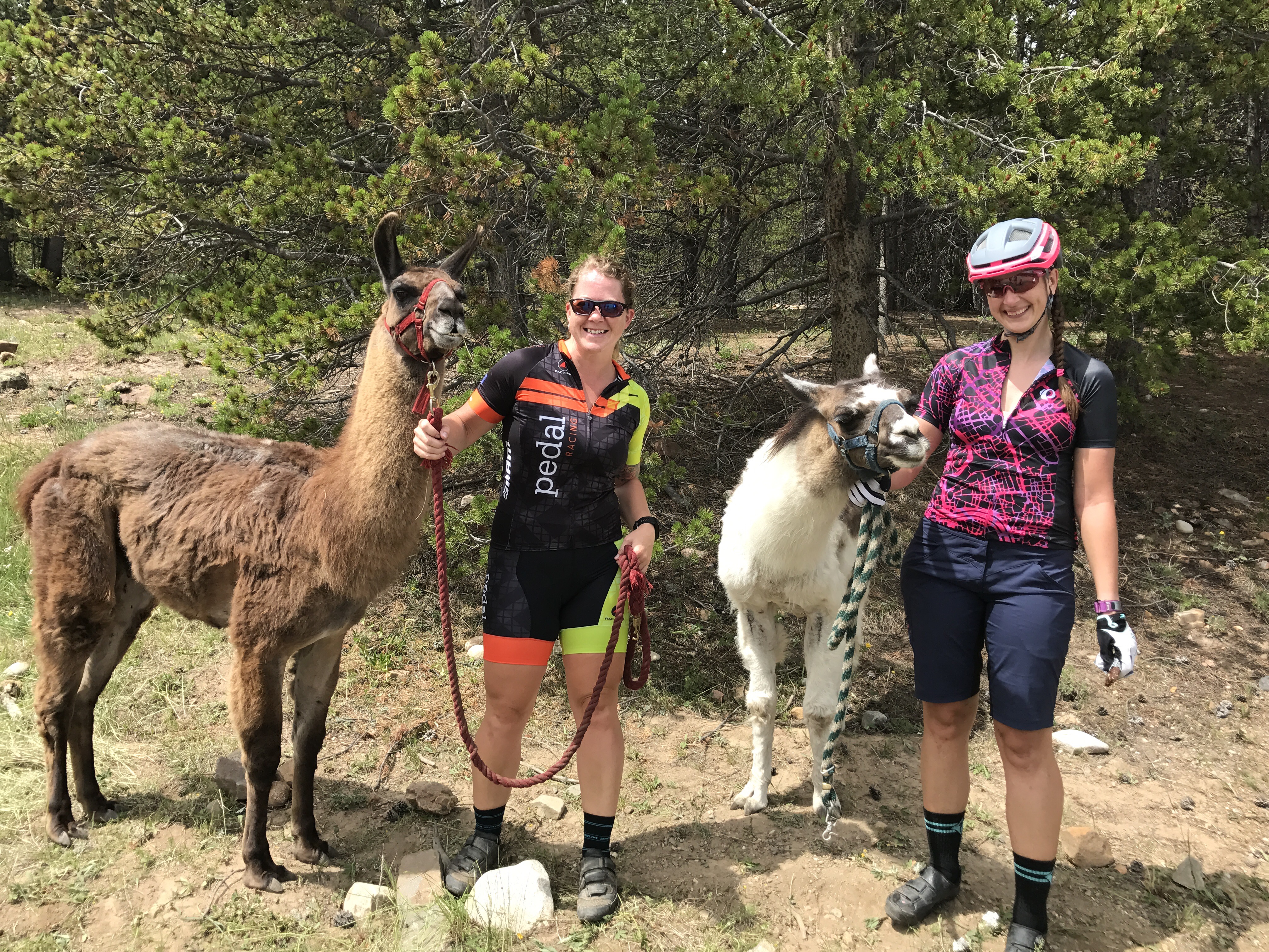
This segment of the Colorado Trail was absolutely amazing! The Camp Hale trail marathon was going on, so our first few miles were shared with trail runners, but soon we had the trails all to ourselves. The trail gradually climbed up to Tennessee Pass, where we got to PET LLAMAS! Tomas and Carlos had just finished up a 115 mile hike with their humans. I love llamas, so this was definitely a highlight for me!

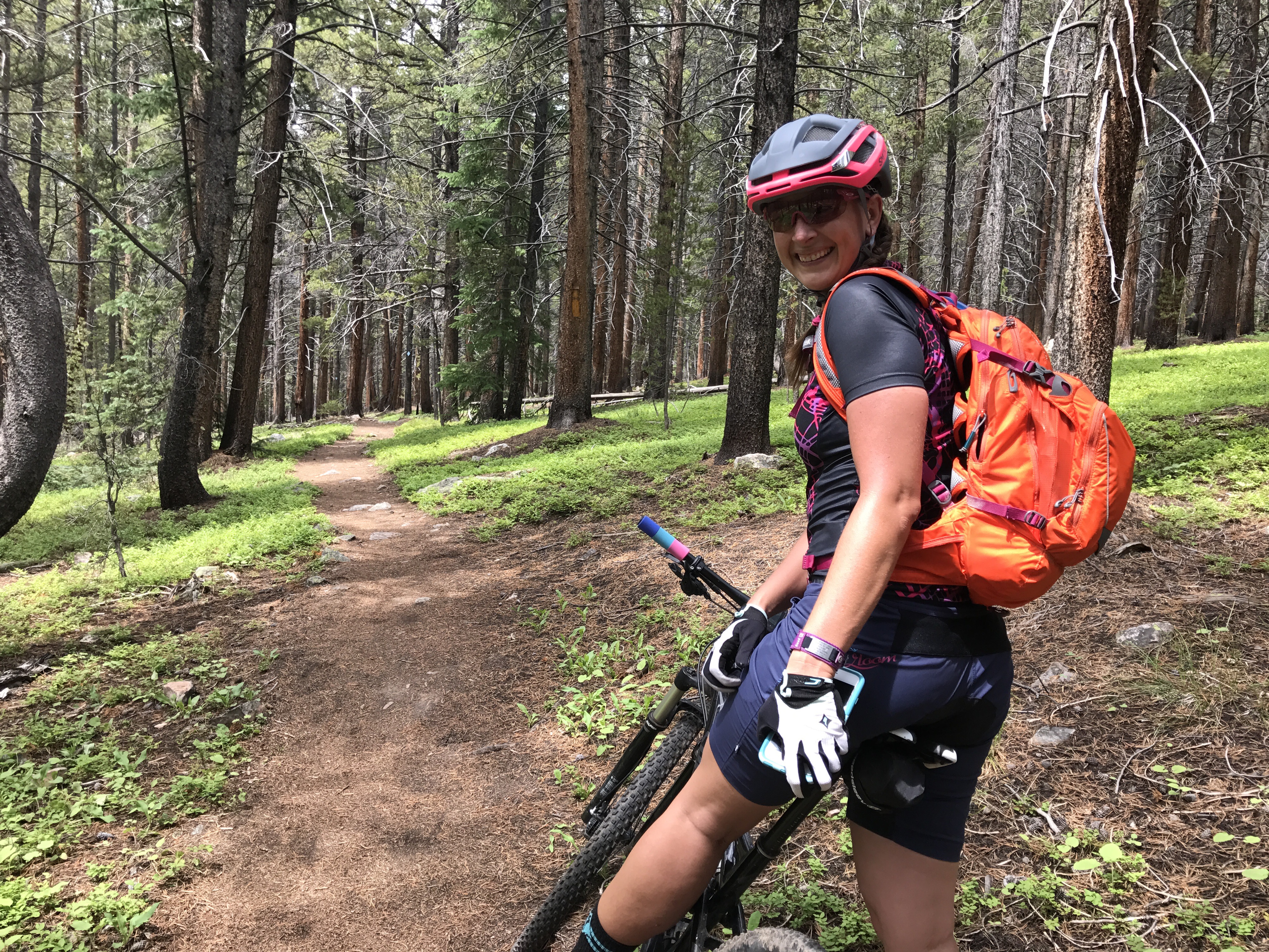

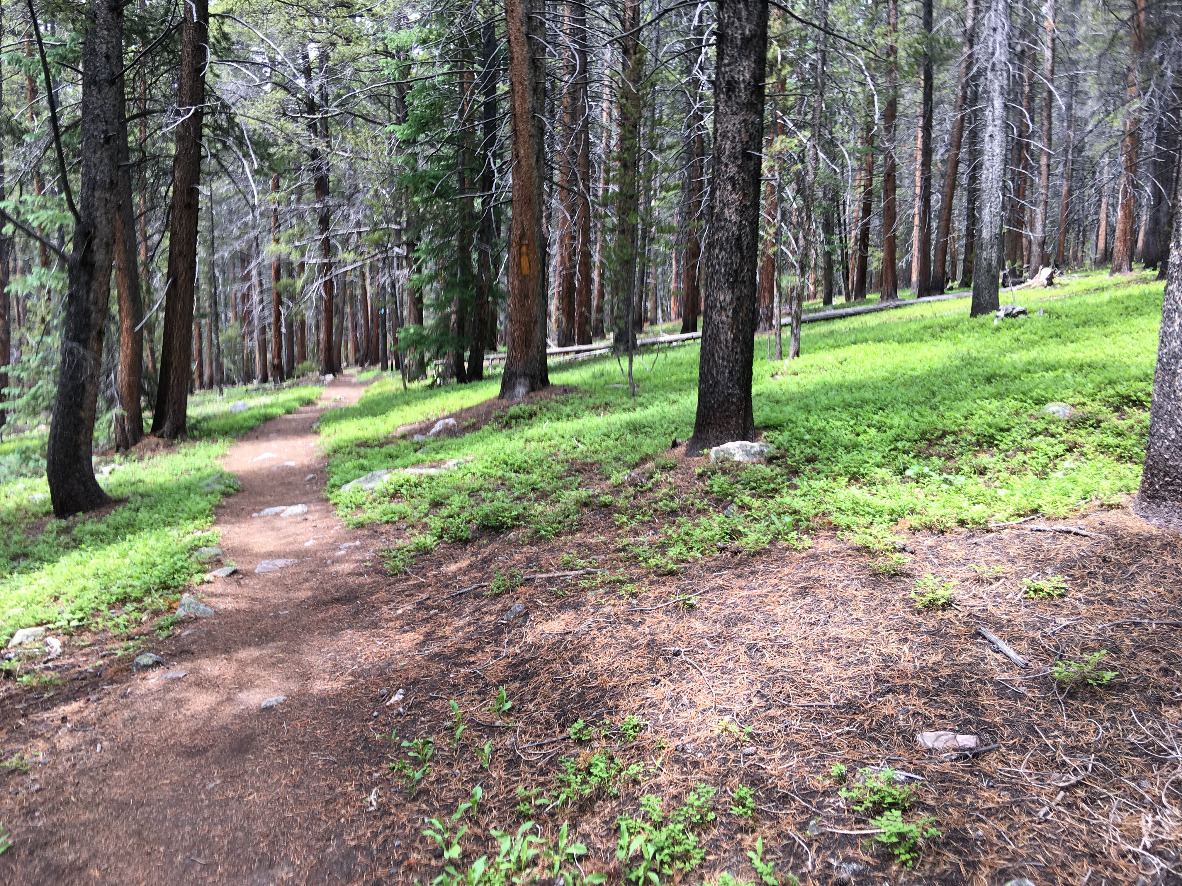
We stopped short of the wilderness boundary as the trail turned quite rocky and hike-a-bike. We didn’t quite realize how much climbing we had done until we turned around and absolutely flew all the way back to our cars! With the riding around Camp Hale, the ride came in at 30 miles with just about 3000 feet of climbing. Amazing day adventuring on the bikes with no pressure of going fast!
We swung through Leadville for some dinner, and then continued onto Buena Vista for a quick grocery store stop and then up Cottonwood Pass where we would car camp and get an early start on our Mount Yale hike

5:30am came quickly and we got dressed in the chilly morning air and ate a quick snack before setting out. Once again the forecast had called for iffy weather, so we hit the trail at exactly 6am in hopes of beating any bad storms. First thing we noticed was how damn steep the trail is… Mount Yale is no joke in the case of steepness!


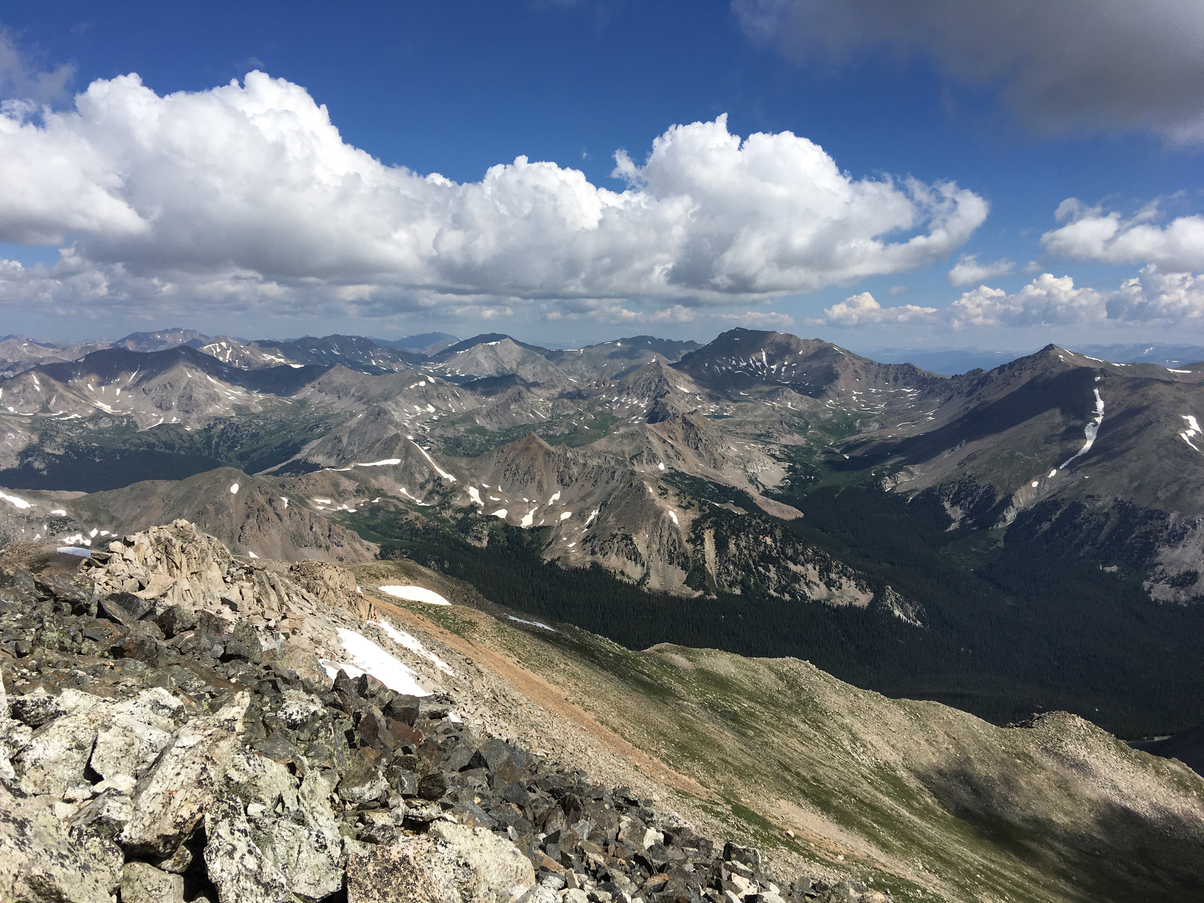

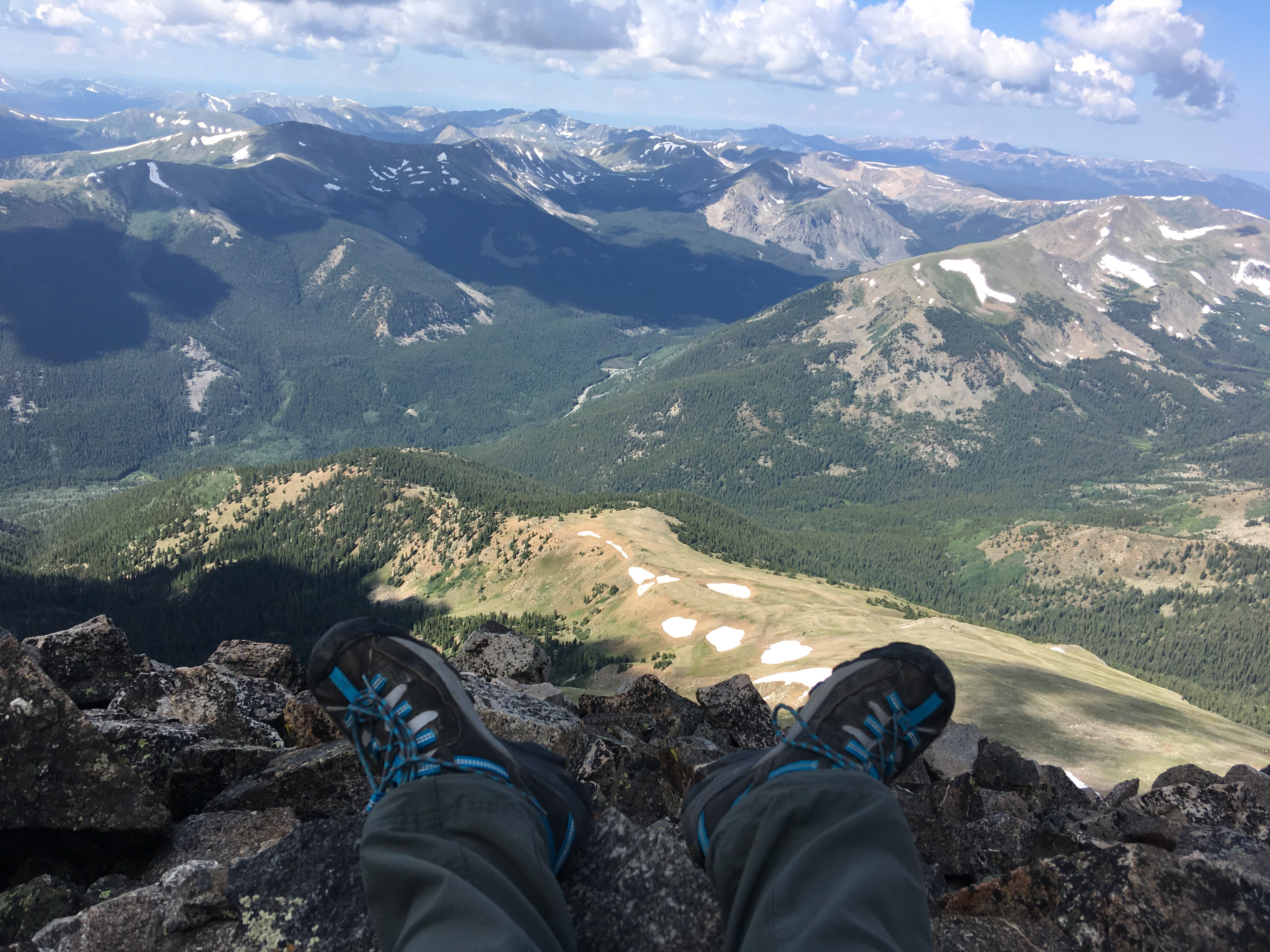
 We took our time summiting, stopping for snacks and to rest. Finally we reached the top, and it was so freaking amazing! The weather was great, with barely any wind and mild temperatures (for being at 14,200 feet!)


After enjoying a quick lunch on the summit we headed down. Going down is what I dreaded the most as it’s so hard on the knees (and whole body as I would learn). We found it easier at times to run, though it was difficult in big clunky hiking boots. I see the appeal in trail running a 14er now for sure! The last few miles were tough, and Lydia and I were total chatter boxes on the climb up and nearly silent the last few miles! I limped behind, totally not enjoying myself, but as soon as I saw my car I felt so accomplished!
I’ve done two 14ers, Mount Evans and Pikes Peak, via road bike and found that to be easier in a sense than hiking them. Plus the elevation didn’t bother me (backed by heart rate and power data) until about the 13,000 foot mark. Hiking was a different story… my fingers and hands swelled considerably and I had a headache on the summit and it remained until I was below tree line. I think hiking must use more muscles and oxygen demand was higher? And my dumbass purposely did not bring my trekking poles… I should’ve!
Total trip was 9.7 miles with 4,326 feet of elevation gain! Max elevation of course was the summit at 14,200 feet. Starting point was about 9,925 feet according to my Garmin. Not too shabby! Total time with stops was 7 hours 15 minutes, with a moving time of 4 hours 3 minutes.
I’ve already started planning future hiking trips even though I’m still oh so sore! Best way to prevent soreness is to do a lot of it, right?! 😀
